Drone Services


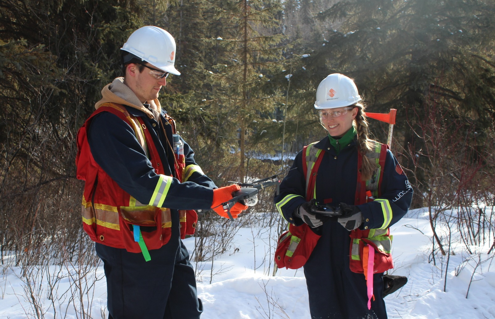
We want to help you use drone technology to better inform your management decisions without the need for extensive in-house resources.
Silvacom's Drone Services:
- Monitoring:
- Linear monitoring
- Tree or crop health monitoring
- Harvest operations monitoring
- Flight reviews
- Group training (for groups of 6+)
- Pre-commercial thinning planning
- Field scouting
- Beyond visual line of sight (BVLOS)
- Establishment and competition assessments
- Volumetric and terrain measurements
- Land cover classification
-1.png?width=436&height=400&name=MicrosoftTeams-image%20(245)-1.png)
Drones are increasingly being used in forestry for various applications due to their versatility, efficiency, and cost-effectiveness. By employing RPAS, you gain access to valuable aerial data and imagery that was previously difficult to obtain. This newfound capability allows for more informed management decisions.
Here's how drones are contributing to the advancement of forestry and environmental management:
- Real-Time and Up-to-Date Imagery: Drone imagery offers an advantage over satellite imagery by providing current conditions of the forest, reflecting the present state rather than the last satellite flyover.
- Unparalleled Detail and Precision: The high-resolution imagery provides a comprehensive and precise understanding of the forest, allowing for more informed analysis and assessment.
- Enhanced Safety: Drones minimize risks by surveying difficult or hazardous areas, ensuring the safety of forestry professionals while providing crucial data for analysis.
- Time and Cost Savings: By leveraging drones, resources can be efficiently allocated, optimizing fieldwork efforts, and reducing unnecessary trips.
- Targeted Field Investigations: Drones enable forestry professionals to focus their field time on investigating specific problem areas. This targeted approach maximizes productivity and ensures resources are allocated to areas requiring attention.
- Seamless Integration with GIS: Drones produce orthophotos that facilitate spatial analysis and enhancing the overall forestry management workflow.
- Permanent Record and Collaboration: Drone imagery can be shared. This fosters effective communication, collaboration, and knowledge sharing among professionals involved in forest management.
Other Drone Services and Solutions:
- Harvest unit depletions and stockpile reports
- LiDAR and high-resolution imagery acquisition
- RPAS thermal and multispectral imaging
- Aerial surveying and mapping
- 3D modelling of structures
- Silviculture surveys
- Establishment / regeneration surveys
- Performance / free-to-grow surveys
- Data processing and analysis
- Biomass assessments
Why Choose Us for Your
Drone Needs?
4 Advanced Remotely Piloted Aircraft Systems (RPAS) Pilots and 4 RPAS Flight Reviewers
Over 25 RPFs that can analyse, interpret, and process your drone data
Our forestry, environment and remote sensing teams work collaboratively to solve your entire project needs
We can work with you to build capacity within your team by helping your company to build a drone program
Let's Talk About Your Project
We find the best and keep the best, so our clients
always get the best!
Join our highly engaged, experienced and passionate team of resource professionals
Silvacom (head office)
201 - 4723 52 Ave NW
Edmonton
Alberta, T6B 3R6
Canada

